
New Zealand · Easy
A 4-Day Leisurely Self-Drive Tour of Queenstown: Glenorchy, Arrowtown, Gibbston, and Wanaka
A 4-day leisurely self-drive tour of Queenstown, taking in Lake Wakatipu, Glenorchy, Lake Mokko, Arrowtown, Gibbston, Lake Haast, the Crown Range Road, and Wanaka.
- Days
- 4
- Stops
- 10
- Mapped stops
- 10
- Mapped distance
- 201.1 km
Share this itinerary
Trip
Day-by-day route
Day 1
1 stopsDay 2
3 stops · 80.9 km · 1 hr 20 minDay 3
4 stops · 58.7 km · 1 hr 10 minDay 4
2 stops · 61.4 km · 1 hr 0 minMap explore
Map explore
New Zealand
Mountain passes, clear lakes and generous distances make New Zealand a natural fit for a patient road trip.
New Zealand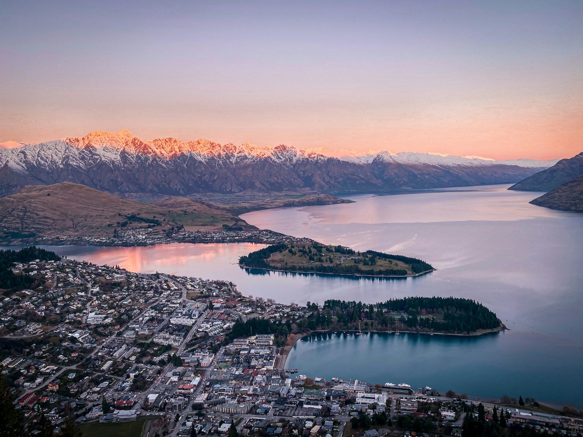
Queenstown Winter 2026: Ski, Adventure & Scenic Drives
Queenstown winter travel guide 2026: world-class skiing at Coronet Peak and The Remarkables, bungee jumping, jet boating, scenic drives, Central Otago pinot noi
7 days
New Zealand South Island Scenic Loop: 7 Days
A focused seven-day South Island route from Christchurch through Lake Tekapo, Aoraki Mount Cook, Wanaka and Queenstown without forcing a full-island sprint.
7 days · Moderate
New Zealand North to South: A Practical 12-Day Road Trip
A realistic twelve-day route from Auckland to Queenstown, with ferry and rental-car planning, manageable driving days, and time for New Zealand landscapes.
12 days
Self-Drive Tour of the Glacial Fjords on New Zealand's West Coast (5 Days)
A classic 5-day self-drive itinerary starting in Christchurch, passing through Arthur’s Pass, Punakaiki, Hokitika, Fox Glacier, and Lake Matheson, and ending in
5 days · EasyRelated reading
Discover places worth the detour
New Zealand
A 4-Day Leisurely Self-Drive Tour of Queenstown: Glenorchy, Arrowtown, Gibbston, and Wanaka
Day 1
Lake Wakatipu
Lake Wakatipu is Queenstown's long alpine lake, framed by mountains and used for cruises, waterfront walks, kayaking, and scenic drives.
View in Google Maps
Day 2
Bennett's Bluff Lookout
Marked viewpoint on the Queenstown-Glenorchy drive.
View in Google MapsGlenorchy Lagoon Scenic Walkway
Flat lagoon walk and mountain-reflection stop in Glenorchy.
View in Google MapsMoke Lake
Moke Lake is a small scenic lake near Queenstown, popular for camping, walking, cycling, kayaking, and calm mountain reflections.
View in Google Maps
Day 3
Arrowtown Chinese Settlement
Arrowtown Chinese Settlement preserves the restored huts and stories of Chinese gold miners who lived near Arrowtown during the nineteenth-century gold rush.
View in Google MapsSawpit Gully Track
Sawpit Gully Track is a walking route near Arrowtown, offering historic gold-mining scenery, open ridgelines, native scrub, and views of the surrounding hills.
View in Google MapsGibbston Valley Winery & Restaurant
Gibbston Valley Winery & Restaurant is a Queenstown-area wine estate known for Central Otago pinot noir, cellar-door tastings, cave tours, and vineyard dining.
View in Google MapsLake Hayes
Lake Hayes is a peaceful lake near Queenstown, valued for reflections of surrounding mountains, cycling paths, walking loops, and picnic spots.
View in Google Maps
Day 4
Crown Range Road
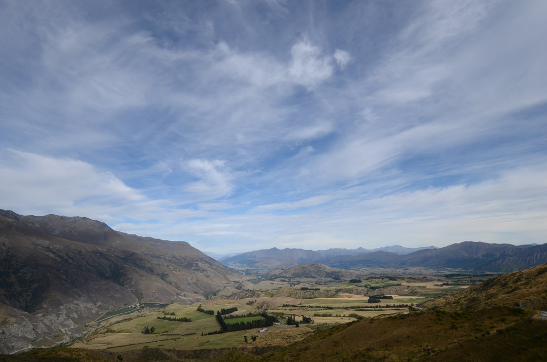
Crown Range Road is New Zealand's highest sealed main road, climbing to 1,076 meters above sea level on the pass between Queenstown and Wanaka through an extraordinary panorama of high-country farmland, mountain ranges, and the deep blue of Lake Wanaka below. The descent to Wanaka on the Cardona side through the Cardrona Valley is one of New Zealand's most scenic drives. The road is popular with cyclists and motorists seeking the most direct (though challenging in winter) route between the two resort towns.
View in Google MapsLake Wanaka Beach
Routeable Lake Wanaka lakefront stop for coffee, short walks and viewpoints.
View in Google Maps