

Chile · Easy
Complete 5-Day Hiking Itinerary for the W-Trail in Torres del Paine
The classic W-shaped hiking trail in Chile’s Patagonia, in Torres del Paine National Park.
- Days
- 5
- Stops
- 3
- Mapped stops
- 3
Share this itinerary
Trip
Day-by-day route
Day 2Patagonia
1 stopsDay 3Patagonia
1 stops · No drivable connection · 5.6 kmDay 4Patagonia
1 stops · No drivable connection · 3.9 kmMap explore
Map explore
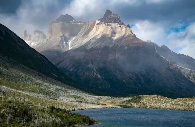
Chile
Chile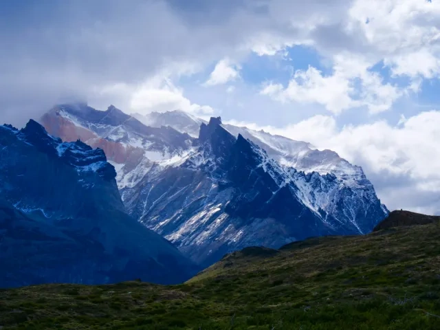
Winter Hiking in Patagonia: A 10-Day Trip Through Chile and Argentina
Winter Hiking Adventure in Patagonia, Chile and Argentina—Torres del Paine, Perito Moreno Glacier, and Mount Fitz Roy.
10 days · Easy
5-Day Tour of the Atacama Desert: Chile's Otherworldly Wonders
A 5-day all-inclusive adventure deep into Chile’s Atacama Desert, where you’ll experience geothermal wonders, high-altitude lakes, and otherworldly, breathtakin
5 days · EasyRelated reading
Discover places worth the detour
Chile · Easy
Complete 5-Day Hiking Itinerary for the W-Trail in Torres del Paine
- Days
- 5
- Stops
- 3
- Mapped stops
- 3
Day 2Patagonia
1 stops- 1
Valle del Francés Viewpoint
SightseeingValle del Francés Viewpoint is a natural attraction known for its landscape and outdoor scenery. It suits travelers looking for viewpoints, walks, photography, and a stronger connection to the region's geography.
View in Google Maps
Day 3Patagonia
1 stops · No drivable connection · 5.6 km- 1
Glacier Grey Trek
No drivable connection · 5.6 kmSightseeingGlacier Grey Trek is a natural attraction known for its landscape and outdoor scenery. It suits travelers looking for viewpoints, walks, photography, and a stronger connection to the region's geography.
View in Google Maps
Day 4Patagonia
1 stops · No drivable connection · 3.9 km- 1
Lago Pehoé
No drivable connection · 3.9 kmSightseeingLago Pehoé is a named place of interest that can add local context, scenery, or culture to a travel itinerary. It is best used as a focused stop when exploring nearby neighborhoods, landmarks, or regional routes.
View in Google Maps