
Sightseeing
Self-drive route
Monterey County · United States
A rugged Pacific coastline and one of the signature stops on Highway 1.
Map explore
Places to stop

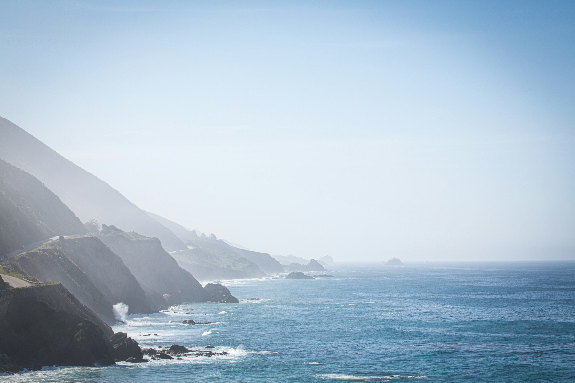
Big Sur is a rugged 145-km stretch of California coastline between Carmel and San Simeon, where the Santa Lucia Mountains plunge dramatically into the Pacific Ocean. Famous for its wild beauty, redwood forests, and turbulent surf, it has long inspired artists, writers, and counterculture seekers. Highway 1 through Big Sur is widely considered one of the world's most scenic drives, with Bixby Creek Bridge as its iconic centrepiece.
San Francisco · United States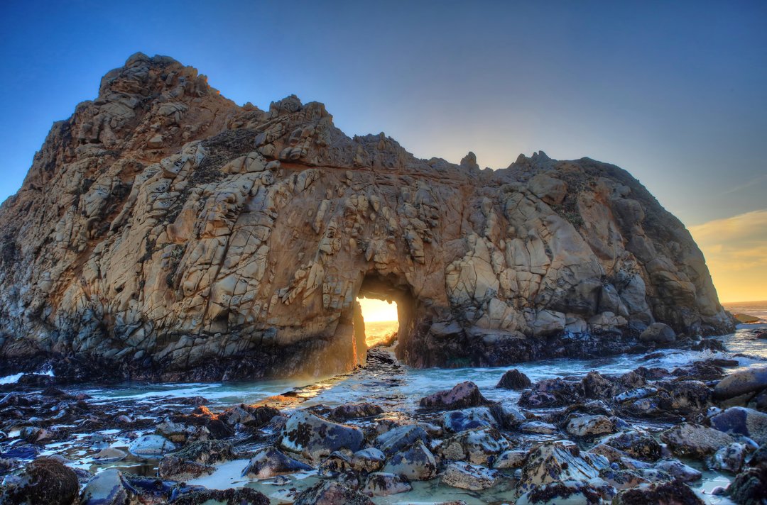
A secluded Big Sur beach known for dramatic sea stacks, Keyhole Arch, purple-tinted sand, and sunset light along California Highway 1.
Big Sur · United States
Bixby Bridge is one of California's most iconic landmarks, a graceful concrete arch bridge spanning the Bixby Creek Canyon on the Big Sur coast of Highway 1. Completed in 1932, it rises 79 meters above the Pacific with dramatic coastal cliffs as its backdrop. The bridge has appeared in countless films and travel features. Sunrise and sunset light transforms it into an extraordinary photographic subject against the fog-draped rugged coast.
San Francisco · United States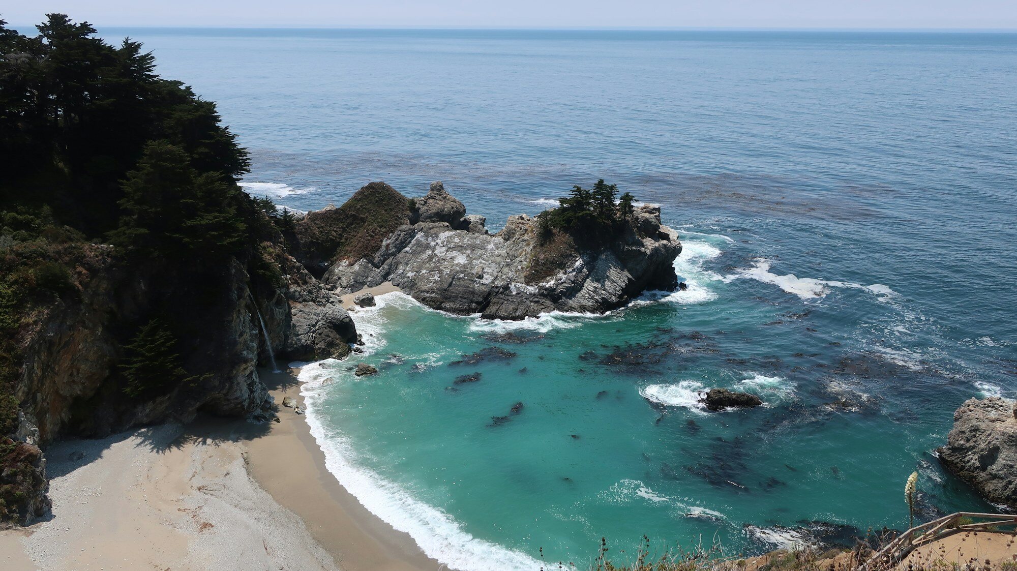
Julia Pfeiffer Burns State Park is a notable travel sight that can anchor a sightseeing route in this destination. It is useful for travelers comparing landmarks, viewpoints, local culture, and practical stops while building an itinerary. Check current opening hours, ticket rules, and access conditions before visiting.
Big Sur · United States
McWay Falls is a stunning natural water feature , where visitors can enjoy the beauty of its aquatic environment set within the surrounding landscape. Popular for photography, nature walks, and experiencing the serene atmosphere of this remarkable natural setting.
Big Sur · United StatesA cinematic coastal drive from San Francisco to Los Angeles, built around ocean views, small towns and flexible detours.
United States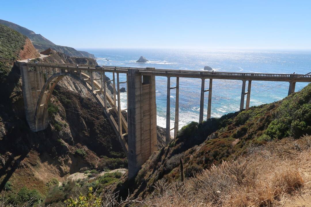
Plan a nine-day drive from San Francisco to Los Angeles with realistic daily distances, Big Sur stops, road-closure checks, and enough time to enjoy the coast.
9 days
A 3-Day Itinerary for Fans at the Seattle Venue of the 2026 FIFA World Cup: A game day at Lumen Field, the iconic Pike Place Market, stunning views of the Space
3 days · Easy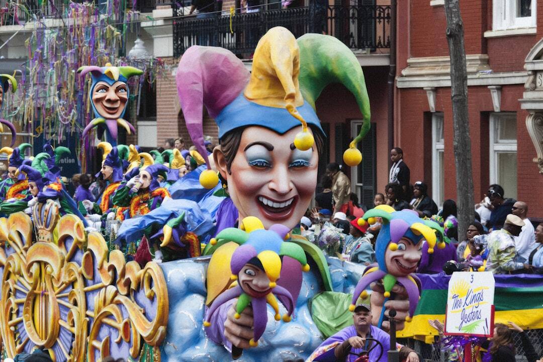
New Orleans Mardi Gras is the city’s Carnival season, rooted in French, Spanish, and Catholic traditions. It begins on Twelfth Night, January 6, and continues u
Date pending official confirmation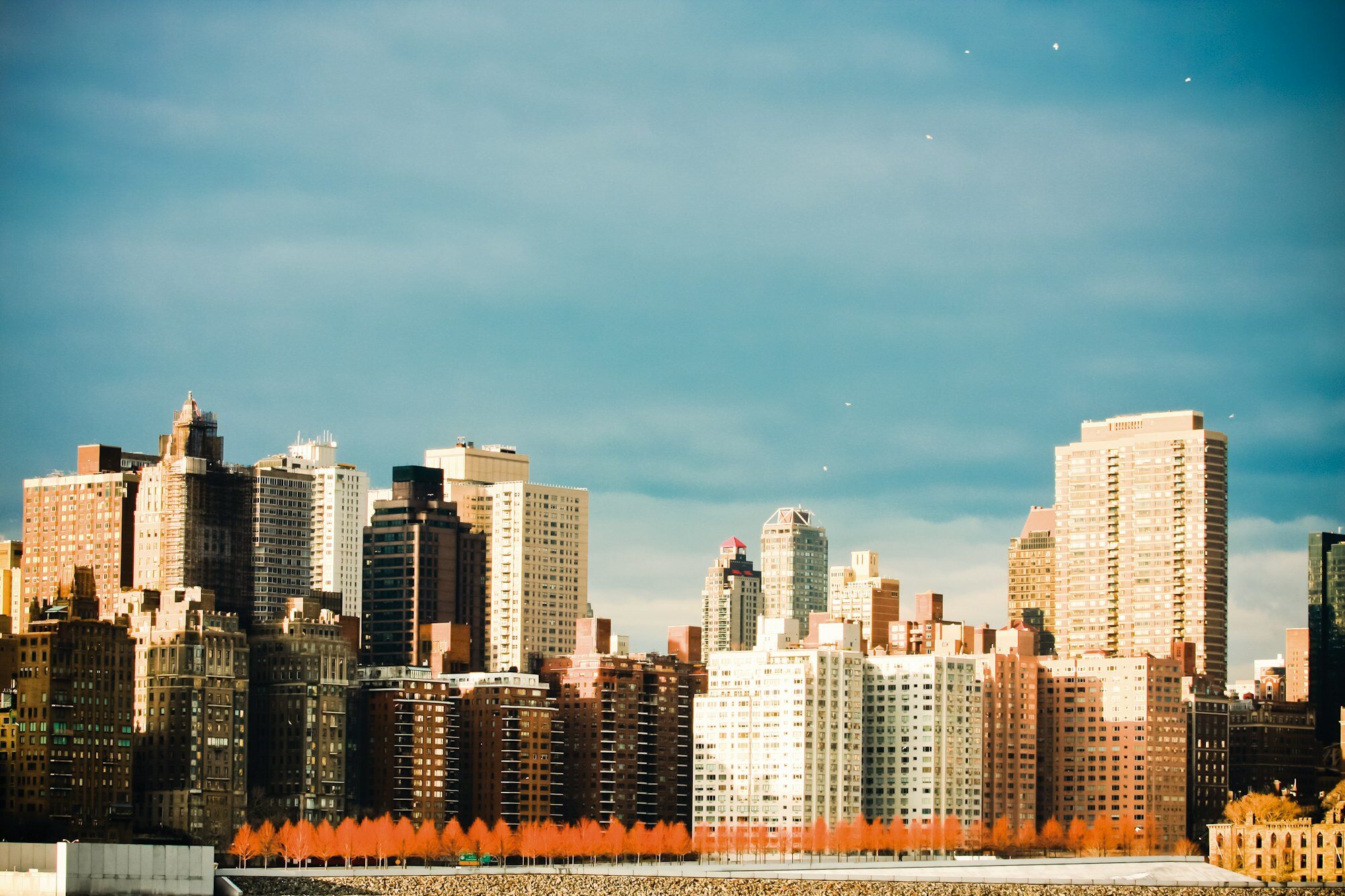
Complete guide to New York City for World Cup 2026. MetLife Stadium info, iconic attractions, neighborhoods, food scene, and Northeast road trips.
4 days
A 6-day drive along California's Pacific Coast Highway from Los Angeles to San Francisco, passing through Big Sur, Monterey, and Half Moon Bay.
6 days · EasyRelated reading