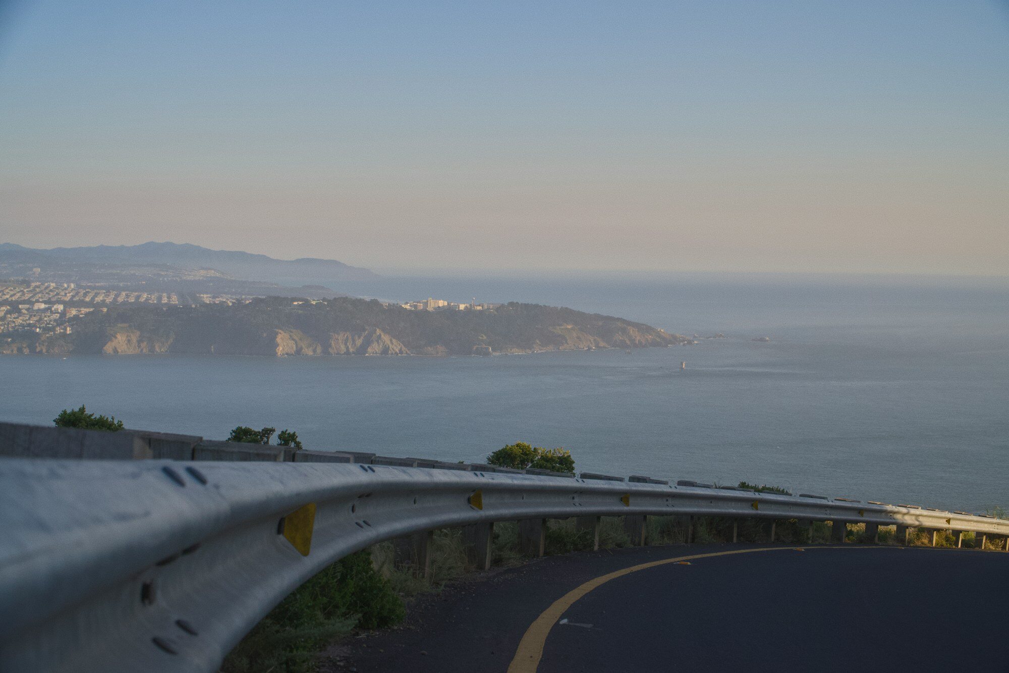
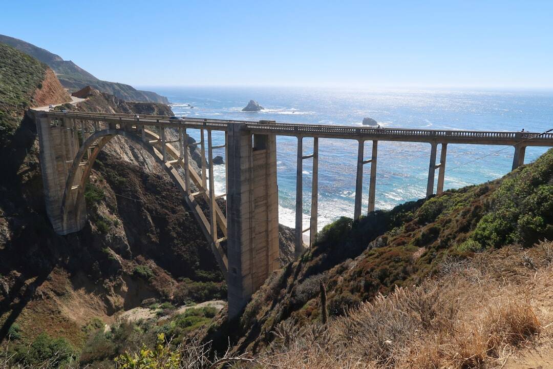
California Highway 1 rewards travelers who leave room for weather, road works, and unplanned viewpoints. This nine-day route runs south from San Francisco to Los Angeles, but it is designed as a framework rather than a race. The coast is the main attraction, so shorter driving days usually produce a better trip than a long checklist of stops.
Before you reserve the route
Highway 1 is exposed to landslides, storms, and construction. A closure in Big Sur can divide the road into separate northern and southern sections, and a navigation app may not show the practical impact clearly. Check Caltrans road conditions and Caltrans QuickMap before booking non-refundable accommodation, again several days before departure, and every morning while driving.
If the road is not open end to end, do not drive around barriers or rely on unofficial tracks. Build an inland connection through US 101 where necessary, then visit accessible coastal sections as out-and-back trips. Mobile coverage is intermittent in Big Sur, so download maps and save accommodation details before leaving a town.
Days 1-2: San Francisco and the Peninsula
Spend the first day without a car if possible. Walk the waterfront, explore a neighborhood away from the busiest sights, and recover from the flight. Collect the car when you are ready to leave; this avoids city parking costs and lets you start rested.
On day two, follow the coast through Pacifica and Half Moon Bay toward Santa Cruz or Monterey. Choose one or two stops rather than pulling over at every turnout. Use only marked parking areas, keep valuables out of sight, and never stop in a traffic lane for a photograph.
Days 3-4: Monterey, Carmel, and northern Big Sur
Monterey makes a practical two-night base. One day can combine the Monterey waterfront, Carmel-by-the-Sea, and the northern Big Sur coast. Point Lobos and nearby state parks can fill several hours, especially if you walk rather than only visit overlooks.
Bixby Creek Bridge is most enjoyable outside the busiest middle of the day. Parking is limited and traffic can become hazardous when drivers cross the road for photos. Continue only as far as time, daylight, and official road conditions allow. California State Parks publishes current information for Pfeiffer Big Sur State Park and other coastal parks.
Days 5-6: Central Coast
If Highway 1 is open through Big Sur, continue slowly toward San Simeon or Cambria. Fuel up before remote stretches, carry water, and expect average speeds to be much lower than the speed limit. Allow time for short coastal walks and viewpoints, but stay behind barriers: cliffs and waves can be dangerous even in clear weather.
Use day six for the coast around Cambria, San Simeon, Morro Bay, or Montana de Oro. Reservations are often required for Hearst Castle tours, while elephant-seal viewing areas may be visited independently. Wildlife should be observed from established paths without feeding or approaching animals.
Days 7-8: Santa Barbara and the coast south
Drive to Santa Barbara for a slower day of beaches, architecture, and an evening on foot. The following day can include Ventura, Malibu, or the Santa Monica Mountains before reaching Los Angeles. Weekend traffic can add hours, so keep the final drive conservative and avoid scheduling a fixed event immediately after arrival.
Day 9: Los Angeles and departure planning
Return the car only after allowing for urban traffic and fuel stops. If flying home, spend the previous night within a manageable distance of the airport rather than gambling on a long same-day drive from the Central Coast.
Practical checklist
Reserve summer and weekend accommodation early, but favor flexible rates. A compact car is enough for the paved route and easier to park than a large vehicle. Carry layers because fog, wind, and temperature can change quickly. Never leave food or bags visible in the car. Ask the rental company about one-way fees and roadside assistance, and confirm that your insurance covers the vehicle and intended drivers.
Treat the route as successful even if conditions require a change. Highway 1 is memorable because of the landscape, not because every mile is completed.
Sources and checks
- Caltrans highway conditions
- Caltrans QuickMap
- California State Parks: Pfeiffer Big Sur
- Visit California: Highway One Classic
Last reviewed: September 2026. Road access, park reservations, and local restrictions can change; verify them before travel.
Cover photo
Photo by Jan Suchánek on Unsplash.